Civic Tech Field Guide
Sharing knowledge and productively growing the fieldTag: Political unit > city - (251)
Showing 251 Results

Localret
BarcelonaLocalret és el consorci local format per les administracions locals de Catalunya per acompanyar els municipis en la seva transformació digital


Diagonal Works
United Kingdom of Great Britain and Northern Ireland 🇬🇧We strive to support the development of more equitable and inclusive places through our belief in open, collaborative and data informed urbanism.

Baseline vulnerable road user injury risk in multiple U.S. dense urban driving environments
Mountain View, CAWaymo partnered with dashcam company Nexar to analyze 500 million miles of driving, including 335 crashes, to create the 'largest ever’ dataset of pedestrian and cyclist injuries

Landlord Mapper
ChicagoLandlord database & interactive map to promote property ownership transparency in rental markets

SAGA Smart Machinaka Project
Saga, JapanThe SAGA Smart Machinaka Project is a demonstration project that aims to improve the convenience of the city center of Saga City through the use of technologies such as AI and IoT, and to create a city that is easy to live in.

Localwatch
AthensCivic tech participatory platform focusing on local level (municipalities). Kάνε ερωτήσεις και προτάσεις στο Δημοτικό Συμβούλιο, οργάνωσε εθελοντικές δράσεις , συνδιαμόρφωσε τον προϋπολογισμό του Δήμου και πάρε μέρος στις διαβουλεύσεις και στην αξιολόγησή του

Google Heat Resilience Tool
Mountain View, CAGoogle Research is applying AI to satellite and aerial imagery to build a Heat Resilience tool, helping cities understand how to reduce surface temperatures through planting trees or using highly-reflective surfaces, like cool roofs.

Bloomberg Center for Public Innovation at Johns Hopkins University
Johns Hopkins UniversityThe Bloomberg Center for Public Innovation at Johns Hopkins University drives innovation in local government by marrying cutting-edge practice with world-class research.

Cali Cómo Vamos
CaliCali Cómo Vamos es un programa de seguimiento y evaluación de la calidad de vida en la ciudad, tiene como referencia el Programa “Bogotá Cómo Vamos”, adelantado desde 1998 por iniciativa de la Casa Editorial El Tiempo, la Cámara de Comercio de Bogotá y la Fundación Corona.

Metroverse, an interactive tool built by Harvard’s Growth Lab, makes it possible to understand your city’s economy and compare it to others.

Counting trucks for environmental justice

Co-City
South Africa (South Africa, Afrika-Borwa, Suid-Afrika) 🇿🇦Citizens have a critical role to play in advancing transparency, accountability and effectiveness in the delivery of municipal services.

Traffic Cam Photobooth
New York City (NYC / New York, NY)Take selfies with surveillance!

The temporal and spatial intersection of information and telecommunication technologies, creative and knowledge economies, and related new manufacturing systems, has been leading to significant effects on urban socioeconomic and spatial configurations and public policies. Specifically, the post-crisis emergence of innovative workplaces to accommodate these changes, is creating socioeconomic and spatial features that are only recently beginning to be explored in the scholarly literature. According to this scenario, this edited book offers a variety of avenues for exploring the relationships between contemporary production activities and new workplaces in several urban contexts. In particular, it focuses on the consequences of these relationships in terms of regeneration of the urban fabric, as well as on their implication in terms of urban policies. This book represents early observation of the fast-growing phenomenon of new productive activities and workplaces against the background of the gig economy and sharing economy paradigms. Central to this discussion is the investigation of the connection between digital technologies, new works and workplaces, and urban change processes and projects, by providing an additional contribution to new urban agendas for contemporary cities. The chapters originally published as a special issue in the Journal of Urban Technology.

Using numerous cities from different regions around the globe, the book compares how smart cities of different sizes are evolving in different countries and continents.
The relationship between citizens and city governments is gradually transforming due to the utilization of advanced information and communication technologies in order to inform, consult, and engage citizens.

Highlighting a wide range of topics including community inclusion, cultural innovation, and public safety, this book is ideally designed for urban planners, entrepreneurs, engineers, government officials, policymakers, academicians, ...
Planning for Informality
153a Helen Joseph Road, Congela, Durban, South Africa(with Isandla Institute)

The Atlas contains measurements of nine indicators for cities all around the world.

When 'doing ethics' meets public procurement of smart city technology – an Amsterdam case study
Amsterdam[A] multi-stakeholder co-design project – including a citizen panel – is an integral part of the process in which the service is designed and realized

Brooklyn Navy Yard
Brooklyn Navy Yard, Flushing Avenue, Brooklyn, NYThe Brooklyn Navy Yard is the center of urban manufacturing and innovation.

The Atlas of Urban Tech
Cornell TechA global atlas of case studies of tech-enabled urban districts and municipal digital masterplans.

Design Trust for Public Space
New York City (NYC / New York, NY)Unlocking the potential of New York’s public spaces.

Chicago IT Strategy
ChicagoTechnology plan for the City of Chicago

Spatial Equity NYC
Massachusetts Institute of Technology (MIT)Spatial Equity NYC (SE), a tool developed by MIT’s Norman B. Leventhal Center for Advanced Urbanism (LCAU) in close collaboration with New York City-based nonprofit Transportation Alternatives (TA), visualizes mobility, environment, and health data.

Riding Forward: Overhauling Citi Bike’s Contract for Better, More Equitable Service
New York City Council, Broadway, New York, NYThis report reviews Citi Bike’s performance to-date and recommends a comprehensive contract overhaul to ensure more reliable and equitable service, with a strategic mix of performance standards, attention to equitable service, and incentives to enable Citi Bike to thrive as a key element of the transportation network – whether under Lyft or a new operator.

Primary Land Use Tax Lot Output (PLUTO)
New York City (NYC / New York, NY)Extensive land use and geographic data at the tax lot level in comma–separated values (CSV) file format. The PLUTO files contain more than seventy fields derived from data maintained by city agencies.

Air Quality Improvement and Monitoring
New York City (NYC / New York, NY)6-month pilot of three pole-mounted static air quality machines

CoreData.nyc is New York City’s housing and neighborhoods data hub, presented by the NYU Furman Center.

NYC Smart City Testbed
New York City (NYC / New York, NY)The NYC Smart City Testbed Program is inspiring innovation within City government by streamlining and accelerating the citywide process for piloting emerging technologies.

Street Activity Sensors
New York City (NYC / New York, NY)8-month pilot to test 12 computer-vision sensors across four boroughs of NYC to employ machine vision and improve street-level data collection and improve planning decisions

Equitable Community Engagement Toolkit
PhiladelphiaThe City of Philadelphia aims to improve collaboration with communities. This website shares guidance on how to engage communities equitably.

citymeetings.nyc
New York City (NYC / New York, NY)A tool that makes it easy to navigate and research government meetings. It uses LLMs to create granular chapters that readers can skim and share.
Mobility Data Specification (MDS)
United States of America 🇺🇸MDS standardizes communication and data-sharing between cities and private mobility providers, such as e-scooter and bike-share companies.

City-Level Decision-Making Tool
Orlando, FLThe Society Library (a collective intelligence institute) shared their micro-voting decision-making tool for city-level decision-making.

Unboxed City
Massachusetts Institute of Technology (MIT)Art exhibition at MIT: critical explorations of ai and cities

Laboratorio GovTech LATAM
Colombia 🇨🇴Una plataforma de innovación abierta que permite acercar nuevas soluciones digitales a los grandes retos de los municipios participantes.

digitalhelpdeskforcities.org is a platform for public officials, specialists, collaborators, and organisations globally who want to promote an inclusive and democratic development of new technologies in their cities.

Its goal is to promote research and disseminate best practice in the ethical application of artificial intelligence in cities.

City AI Connect
Johns Hopkins UniversityA global community for cities to learn about generative AI together, faster.

Boti
Buenos AiresEl chatbot de la Ciudad Buenos Aires
Smart Districts
Dublin, IrelandSmart Districts (Dublin) are strategically selected locations where innovation projects are fast-tracked.

The Planning London Datahub
LondonThe Planning DataHub is a collaborative project between all of the Planning Authorities in London to build a single open data set of development proposals in the planning process to enable monitoring of how our City is changing and develop a shared understanding of the data.

Cycling updates to Google Maps now take account of traffic conditions and the availability of high-quality cycling infrastructure
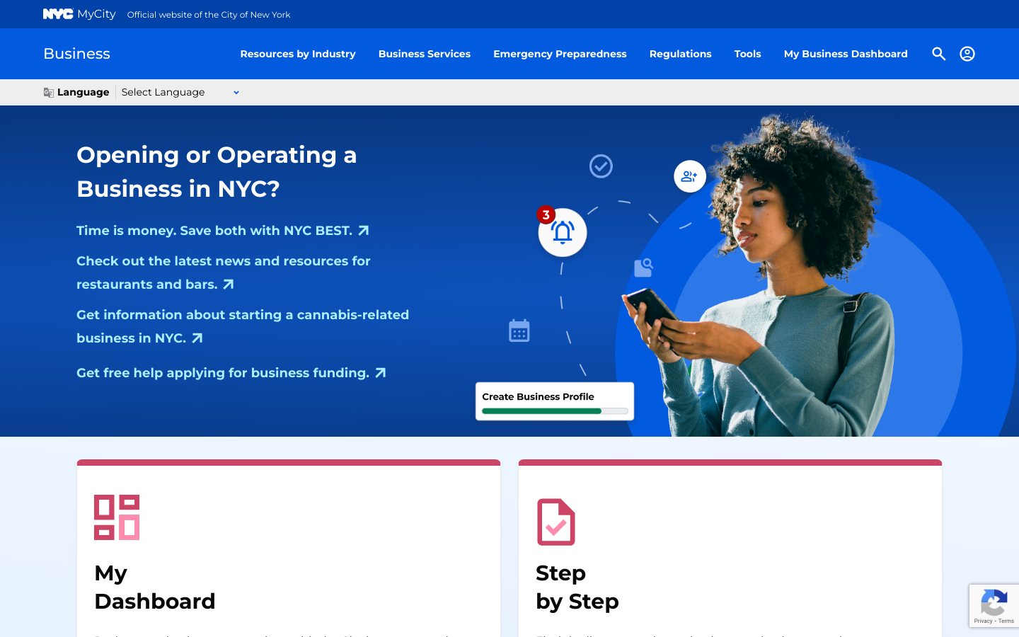
MyCity Chatbot
New York City (NYC / New York, NY)NYC's Business Services Chatbot which "uses Microsoft's Azure AI services to provide information in response to questions you have about starting or operating your business" in ten+ languages

Internet of Things pilots to improve quality of life in London neighborhoods

Camden Talks Data: Machine learning
Camden Town, LondonThis video explains how Camden Council uses machine learning to improve council services.

Copenhagen Solutions Lab
CopenhagenAt Copenhagen Solutions Lab, we support the development of the city through testing and implementation of intelligent and data-driven solutions, that support the needs of the city and its citizens.
Get email updates
Helpful Links
Reach Out
A project of

With support from
National Endowment for Democracy
Founding Organization
Civic Hall
Technology partner

 Civic Tech Field Guide